Tim Trautmann / Archive
Cart

1390 photographs, licensable by the hour or the century.

By category
A · 222 / B · 600 / C · 574
/
Clear ×
Filter

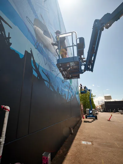
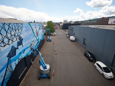
Showing results for "Aerial View"

A sleek silver gondola car of the Portland Aerial Tram floats gracefully through autumn air, its reflective surface catching the soft overcast light above the South Waterfront district. The panoramic view reveals Portland's modern high-rise towers nestled between the Willamette River and rolling hills, while bare-branched trees in the foreground signal late fall's arrival. The composition captures both the engineering marvel of the tram system and the urban landscape it serves, connecting OHSU's Marquam Hill campus to the bustling waterfront below.
The Portland Aerial Tram approaches its upper terminal at Oregon Health & Science University, offering passengers sweeping views of the city's South Waterfront district and the Willamette River beyond.
Portland Aerial Tram Glides Over South Waterfront
A
An elevated view captures Portland's historic Chinatown district on a bright afternoon, where brick facades and contemporary structures create an eclectic urban tapestry. The bustling street scene unfolds below with diagonal parking lots filled with vehicles, tree-lined sidewalks, and pedestrians navigating the intersection of heritage and modern commerce. Puffy white clouds drift across azure skies above this Northwest Portland neighborhood, while the distinctive architecture tells the story of cultural evolution in the Pacific Northwest.
An aerial view reveals the architectural diversity and urban vitality of Portland's Chinatown district beneath a brilliant afternoon sky.
Chinatown Portland Aerial Perspective
B
A precise aerial perspective captures Portland's historic Hawthorne Bridge spanning the dark Willamette River at dusk. The steel truss structure stretches across the frame in perfect symmetry, its weathered concrete deck illuminated by scattered streetlights while two vehicles traverse the span. The inky waters below create a stark void that emphasizes the bridge's engineered geometry and vital connection between Portland's eastside neighborhoods and downtown core.
An aerial view reveals the Hawthorne Bridge's steel truss architecture spanning the Willamette River in Portland, Oregon.
Hawthorne Bridge Suspended Over Willamette Waters
A
An elevated perspective captures Portland's Historic Chinatown district on a brilliant summer afternoon, where century-old brick buildings with ornate facades stand alongside modern glass towers. The warm golden light bathes the mixed-use streetscape, revealing the neighborhood's layered architectural evolution from historic commercial blocks to contemporary urban development. Tree-lined streets create geometric patterns between the vintage storefronts and newer residential buildings, while the distinctive domed tower of a prominent downtown building punctuates the distant skyline.
Historic brick buildings and modern towers create Portland's evolving Chinatown landscape under clear afternoon skies.
Portland Chinatown Historic District Aerial View
B
An elevated perspective captures the historic architecture of Portland's Chinatown district on a partly cloudy afternoon. The foreground showcases weathered brick buildings with flat rooftops dotted with HVAC equipment, while mid-century structures with distinctive facades stretch toward the horizon. In the distance, gleaming downtown high-rises pierce a soft blue sky scattered with white cumulus clouds, creating a compelling juxtaposition between the neighborhood's intimate scale and the city's vertical ambitions.
Historic brick buildings in Portland's Chinatown create layers of urban texture beneath gathering afternoon clouds.
Portland Chinatown Urban Landscape Aerial View
B
An elevated view captures the diverse architectural tapestry of Portland's Old Town district, where a surface parking lot serves as the immediate foreground beneath gathering afternoon clouds. The scene reveals the characteristic blend of historic red brick buildings and contemporary structures that define this Pacific Northwest neighborhood, with the Kalberer building prominently anchoring the middle ground. Soft natural light filters through a partly cloudy sky, casting gentle shadows across the urban landscape and creating depth between the foreground parking area and the distant high-rise towers.
Surface parking and mixed-use development characterize this aerial view of Portland's Old Town district beneath a partly cloudy afternoon sky.
Portland Urban Landscape Aerial Perspective
B
An elevated afternoon view captures the bustling intersection of Northwest Portland's Pearl District, where historic brick buildings meet contemporary architecture under a canvas of scattered cumulus clouds. The scene reveals a well-organized street grid with tree-lined avenues, surface parking lots filled with vehicles, and the distinctive mix of red brick facades and modern glass structures that define this revitalized neighborhood. Golden hour light bathes the urban landscape, highlighting the textural contrast between the weathered industrial buildings and sleek residential towers rising in the distance.
The Pearl District's historic architecture and modern development converge in this aerial perspective of Northwest Portland's transformed warehouse district.
Pearl District Urban Vista from Above
B
An elevated view captures the bustling intersection of Portland's historic Chinatown district, where a sun-drenched parking lot anchors the urban composition. Mid-rise buildings in varied architectural styles create a textured skyline against wispy white clouds, while the Kalberer building stands prominently among mixed-use structures. The afternoon light bathes the scene in warm tones, revealing the neighborhood's blend of residential towers, commercial buildings, and tree-lined streets that define this evolving urban landscape.
An aerial perspective showcases the dynamic urban fabric of Portland's Chinatown district, where parking infrastructure meets diverse architectural styles under a bright Pacific Northwest sky.
Portland Chinatown Urban Vista from Above
B
An elevated perspective captures the heart of downtown Portland's Old Town Chinatown district, where a bustling surface parking lot serves as the focal point amid a tapestry of historic brick buildings and modern structures. The late afternoon light bathes the mixed-use neighborhood in warm tones, highlighting the architectural diversity from restored industrial buildings to contemporary residential towers. Tree-lined streets radiate outward from the central plaza, while pedestrians move through the urban landscape beneath a partly cloudy Pacific Northwest sky.
Surface parking dominates the urban core of Portland's Old Town Chinatown district, surrounded by a blend of historic and contemporary architecture.
Aerial View of Downtown Portland Parking Plaza
B
A skateboarder launches into a dynamic aerial maneuver inside Commonwealth Skateboarding in Portland's Buckman neighborhood. The raw concrete and exposed wooden beams of the indoor skate space frame the athlete mid-flight, while colorful skull artwork and graffiti murals create a gritty urban backdrop. The dramatic low-angle perspective captures the precise moment of weightless suspension, with the skater's weathered deck clearly visible beneath his sneakers.
A skateboarder executes an aerial trick inside Commonwealth Skateboarding on Southeast 20th Avenue in Portland, Oregon.
Airborne Skateboard Trick at Commonwealth Skate Shop
C
An elevated panoramic view from Vista House captures the majestic Columbia River Gorge as it winds through the Cascade Mountains of Oregon. The serpentine Historic Columbia River Highway traces the southern shoreline below, while emerald forests cascade down volcanic bluffs toward the mirror-still waters. Clear summer light illuminates the pastoral valley stretching eastward, where golden agricultural fields meet distant mountain ridges beneath an azure sky.
The Historic Columbia River Highway curves along the Columbia River Gorge near Vista House in Multnomah County, Oregon.
Columbia River Gorge Aerial Panorama
B
An expansive aerial view captures the Oregon coast where the Pacific Ocean meets the rugged Tillamook County shoreline. The deep blue waters stretch endlessly toward a hazy horizon, while forested mountains roll inland from a pristine sandy beach. Soft atmospheric haze creates layers of blue tones that blend sea, sky, and distant peaks into a seamless coastal panorama.
The Pacific Ocean extends toward the horizon from Oregon's Tillamook County coastline, where forested mountains meet pristine beaches.
Pacific Coastline from Tillamook County Heights
B
Jeremy Nichols and Devin Finley work from aerial lifts to create a large-scale mural on the concrete facade of a Southeast Portland building. The dramatic low-angle perspective captures the artists suspended against a bright sky as they paint flowing blue and black elements onto the industrial wall. The scene unfolds in Portland's Central Eastside district, where street art transforms urban landscapes through collaborative artistic endeavors supported by the Portland Street Art Alliance.
Artists Jeremy Nichols and Devin Finley create a large-scale mural from aerial lifts on a Southeast Portland building wall as part of a Portland Street Art Alliance project.
Street Artists Transform Portland Building Wall
B
The urban tapestry of downtown Portland unfolds in layered complexity, with glass towers and brick facades creating a dense metropolitan core against the verdant West Hills. Mount Hood's snow-capped volcanic peak rises ethereally through Pacific Northwest haze, its distant majesty providing dramatic counterpoint to the intimate human scale of Oregon's largest city. The prominent high-rise anchors the left frame while modern condominiums and historic buildings create varied architectural textures throughout the bustling Pearl District and downtown corridor.
Mount Hood's glaciated summit looms beyond Portland's downtown skyline, viewed from the affluent Kings Heights neighborhood in the city's West Hills.
Downtown Portland Skyline with Mount Hood
A
An expansive aerial view from Kings Mountain summit reveals the Northwest Wilson River Highway threading through the dense emerald tapestry of Tillamook State Forest. Billowing cumulus clouds drift across azure skies while ancient conifers blanket rolling ridgelines that stretch toward distant peaks. The narrow ribbon of State Highway 6 appears as civilization's delicate trace through this vast wilderness corridor, where shadows pool in valleys between the forested summits.
State Highway 6 winds through the verdant depths of Oregon's Tillamook State Forest as viewed from Kings Mountain summit.
Emerald Canopy Above Wilson River Highway
B
Jeremy Nichols and Devin Finley work from elevated boom lifts to paint an expansive blue and black mural on the side of an industrial building in Southeast Portland's Central Eastside district. The aerial perspective captures the scale of their street art project, with geometric patterns and marine-themed imagery flowing across the concrete wall. Orange safety cones and yellow caution tape mark the work zone on the asphalt below, while scattered vehicles and the urban landscape of warehouses stretch toward forested hills under a partly cloudy sky.
Artists Jeremy Nichols and Devin Finley paint a large-scale mural on Southeast 2nd Avenue in Portland's Central Eastside for the Portland Street Art Alliance.
Artists Creating Mural in Southeast Portland
B
Billowing white cumulus clouds punctuate a brilliant azure sky above the Columbia River Gorge region near Washougal, Washington. The substantial cloud formations cast subtle shadows against the deep blue atmospheric canvas, creating a dynamic interplay of light and shadow. Wispy fragments of cirrus clouds add textural detail to this quintessential Pacific Northwest sky scene, captured along the historic Lewis and Clark Highway corridor.
Cumulus clouds drift across vibrant blue skies over Washougal in Washington's Clark County, along the Lewis and Clark Highway route.
Cumulus Clouds Drift Over Washougal Skies
C
The sprawling neighborhoods of Northwest Portland unfold beneath a pastel dusk sky, where residential homes nestle between modern apartment complexes and commercial buildings. The iconic white arches of the Fremont Bridge span the distant Willamette River, while the snow-capped silhouette of Mount Saint Helens anchors the horizon in Washington State. Golden hour light bathes the urban landscape in warm tones, creating a serene contrast between the intimate scale of residential streets and the grandeur of the Cascade Range beyond.
Northwest Portland's diverse urban fabric stretches toward Mount Saint Helens and the Fremont Bridge during the golden hour.
Portland's Urban Tapestry Beneath Cascade Peaks
B
An elevated perspective captures the intersection where traditional meets contemporary in Portland's Chinatown district. The geometric precision of white crosswalk stripes guides the eye through a scene where vintage brick architecture houses modern commerce, while HVAC units dot the pristine white rooftop like mechanical sentinels. Red street lamps stand as colorful punctuation marks against the muted palette of concrete and brick, their warm hue echoing the neighborhood's cultural heritage.
Street-level commerce and rooftop infrastructure converge at a Chinatown intersection in Portland, Oregon, where traditional architectural elements meet modern urban functionality.
Urban Corner Chronicle in Portland Chinatown
B
A skateboarder's legs and board are captured mid-air above the curved concrete of Commonwealth Skateboarding's bowl in Portland's Buckman neighborhood. The atmospheric lighting illuminates weathered sneaker soles and the deck's underside while graffiti-covered walls and fellow skaters create an authentic skate scene. The low-angle perspective emphasizes the height and technical precision of the aerial maneuver.
A skateboarder launches above the bowl at Commonwealth Skateboarding during an editorial shoot for Red F Skateboards in Portland, Oregon.
Airborne Moment at Commonwealth Skate Bowl
C
A bird's-eye view captures the bustling atmosphere of Record Store Day 2026 at Music Millennium on East Burnside Street in Portland, Oregon. Dozens of vinyl enthusiasts browse through methodically organized rows of records, their silhouettes creating patterns against the warm wooden flooring. Natural light streams through tall windows along the storefront, illuminating colorful album covers and handwritten signage that celebrates the enduring ritual of analog music discovery.
Vinyl collectors crowd the aisles during Record Store Day 2026 at the iconic Music Millennium record store in Portland's Kerns neighborhood.
Vinyl Pilgrimage at Music Millennium
C

Search tags, trending this week
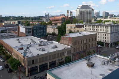
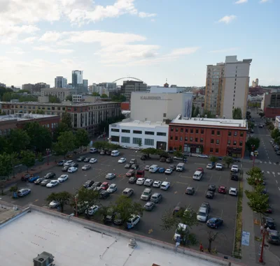
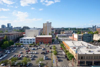
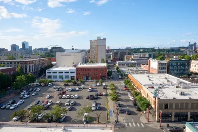
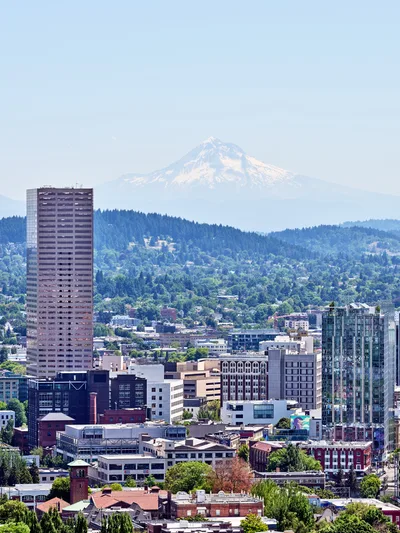